Former Rapha Condor Sharp rider Tom Southam retired from full-time racing in October 2011, the end of what was his third season with the team.
Tom grew up in Penzance but is now based in Bristol. He was chief tester of the Super Acciaio 2.0 project for Condor and currently writes wonderfully modern prose for various publications.
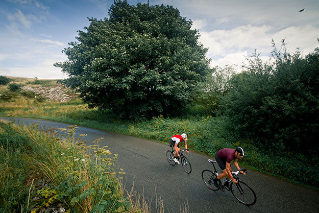
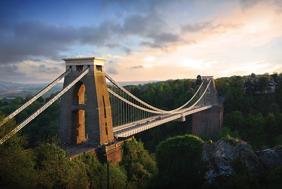
His route begins in Clifton, Bristol and negotiates steep and sudden Mendip country, full of bare heights, streams and lushly wooden hollows. The route crosses itself in a few places as it navigates through the limestone hills south of Bristol with each climb offering sections with double digit gradients.
One of the most spectacular parts of the ride is the road towards Cheddar and the descent through the limestone gorge into the town itself. Beware it can sometimes be over-run with tourists.
The final climb is the steepest ascent in the Mendips, with a gnarly stretch that maxes out at 20%. Tom describes it as "the kind of climb that hurts your arms from dragging yourself up out the saddle".
Download top-tube cue sheet and profile
Download GPX route for Garmin Edge units
East Harptree
Length: 2.9 miles
Elevation gain: 693 ft
Climb starts from the left hand turn from Coley Road into East Harptree village and continues on Middle Street until the climb levels out just shy of the cross roads.
Shipman Gorge
Length: 3.0 miles
Elevation gain: 734 ft
From the junction out of Cheddar, enter Shipham Road, the climb begins from the junction. There is a brief descent and a fast right turn onto Longbottom for the second section of the climb. The real test is towards the end where gradient of the road steepens for 15%.
Draycott
Length: 1.2 miles
Elevation gain: 725 ft
Climb begins in Draycott Village. Take the left turn off the Draycott Road (A371) and onto New Road. The climb finishes when the road levels out. Beware this climb has sustained sections of 15-20%.


