Zum Inhalt springen
Bikes Condor Brompton Help Components Bike Parts Contact Points Wheels, Rims & Hubs Tyres & Tubes Brompton Components Shop Top Brands Accessories Cycling Essentials Lights Luggage & Bike-Packing Bags Lifestyle Bike Maintenance Tech & Electronics Nutrition Clothing Men's Clothing Women's Clothing Clothing Accessories Shop Top Clothing Brands In-Store Workshop Our Services Visit Us

Luke Mellors Shropshire Lumps

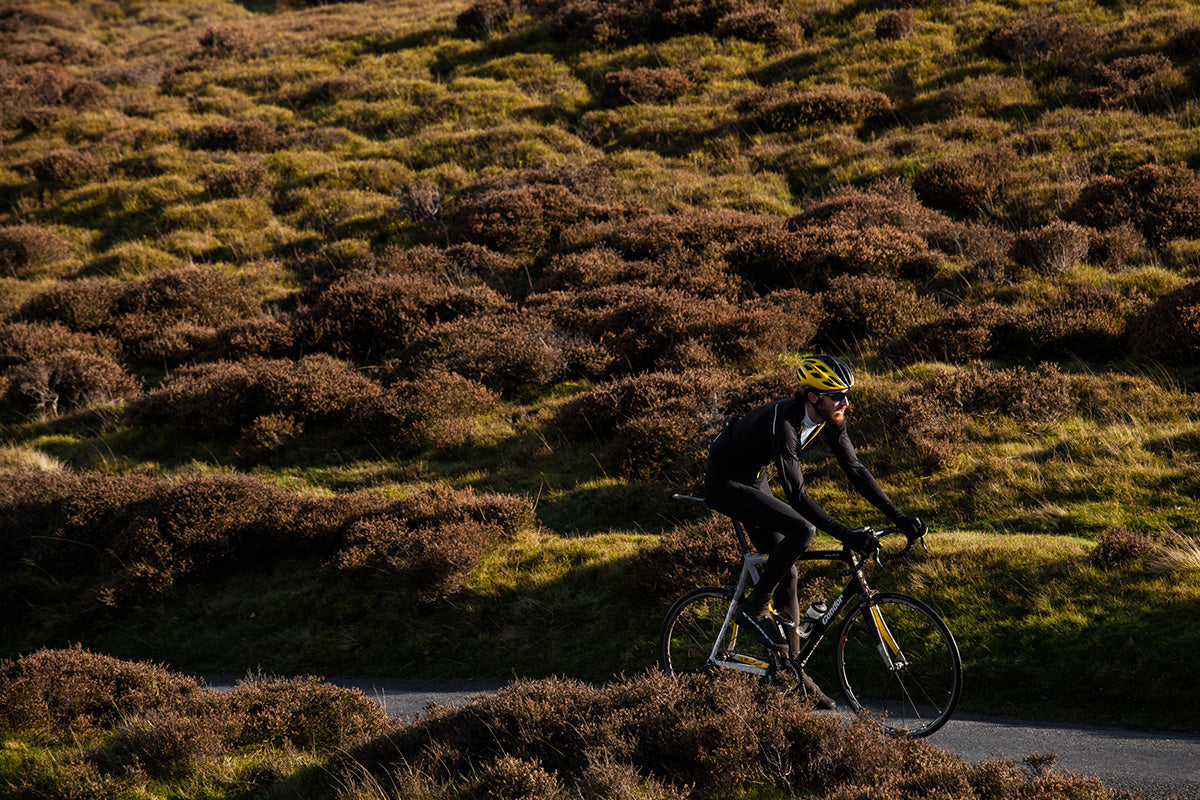
Team JLT Condor-Fahrer Luke Mellor führt uns durch ein Labyrinth einspuriger Straßenanstiege über den Long Mynd zum angrenzenden Bergrücken der Stiperstones, gekrönt von einer Reihe unheimlich aussehender Felsen, wo Satan angeblich Gericht gehalten hat.

Die Shropshire-Hügel und der Long-Mynd-Aufstieg, auch Little Switzerland genannt, verleihen dem Matterhorn nicht gerade einen unsicheren Komplex, aber es gibt einen Hauch von Wildheit und Gotik, der unpassend in der Gegend ist.

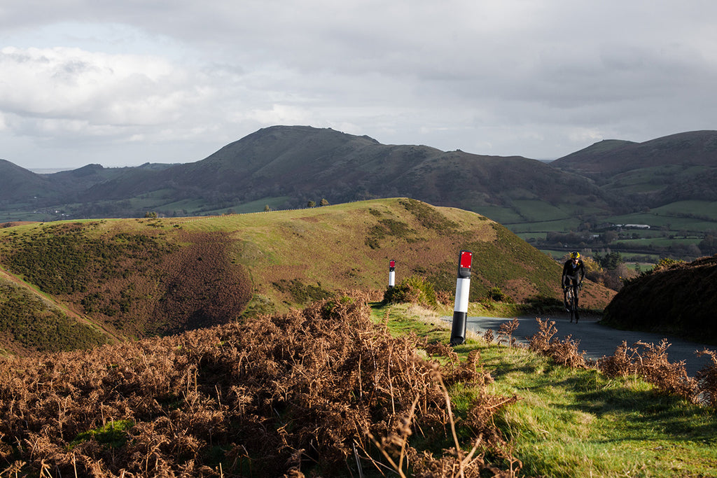
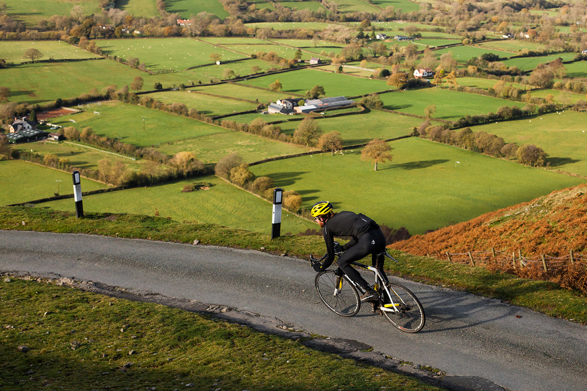
Über die Hälfte der Grafschaft Shropshire wurde als „Area of ​​Outstanding Natural Beauty“ (AONB) ausgewiesen und die mit Heidekraut bedeckten Hügel und Täler eignen sich hervorragend als Reitgelände.

Luke Mellor wählte seine liebste 100-km-Runde der Region mit drei Anstiegen aus, die es zu bewältigen gilt. Der erste, Devil's Chair, eröffnet atemberaubende Ausblicke auf die Region mit einem schnellen und unterhaltsamen Abstieg von der Spitze, der Sie schließlich nach Church Stretton bringt, einer niedlichen Stadt voller Feinkostläden und Kaffeestationen, die in Schwarz und Weiß geschmückt ist -Hölzer.

Sobald Sie Church Stretton erreicht haben, beginnt der Aufstieg fast sofort, da die Route den beeindruckenden Burway in Angriff nimmt, bevor es zurück nach Shrewsbury geht, um an Lukes Lieblingsplatz, Ginger and Co., Kuchen zu essen.
Route Club - Shropshire

Teufelsstuhl
Länge: 8,5 km
Steigung: 3 %

Hinweise für Fahrer: Der Devil's Chair ist der erste Anstieg der Fahrt und führt über den Bergrücken des Naturschutzgebiets Stiperstones. Der Gipfel liegt am Bog, wo Sie im Café des Besucherzentrums eine Pause einlegen können.

Burgberg / Ratlinghope
Länge: 5 km
Steigung: 3 %
Hinweise für Fahrer: Der Anstieg ist eher eine Verbindungsstraße nach Church Stretton und nicht zu anstrengend. Seien Sie nicht verrückt, Sie müssen Ihre Beine für den Burway aufsparen.

Der Burway
Länge: 3,2 km
Steigung: 9 %
Hinweise für Fahrer: Der Burway ist ein echter Knaller und an manchen Stellen beträgt die Steigung über 13 %. Die Straße ist kurvig und das Gefälle lässt nicht nach, bis Sie den Gipfel erreichen.

Kuchenstopp
Ingwer und Co. Kaffee
30-31 Princess Street
Shrewsbury
SY1 1LW

Laden Sie die TCX-Route für Garmin Edge-Geräte herunter

Sehen Sie sich eine Karte der Schleife auf RidewithGPS an
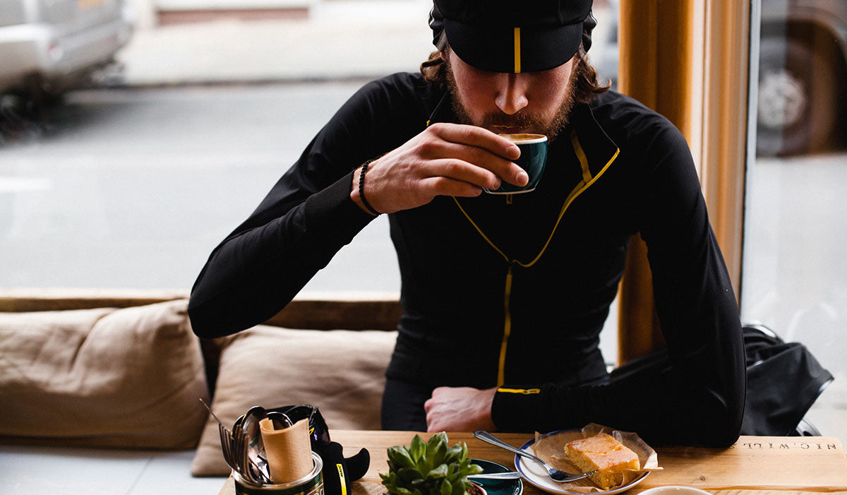
Ingwer und Co. Kaffee

Ingwer und Co-Kaffee

Route Club - Shropshire

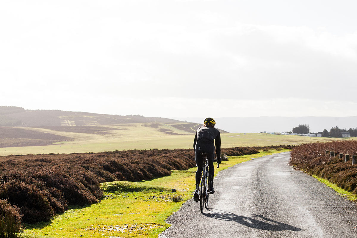
Luke Mellor in Shropshire

Team JLT Condor rider, Luke Mellor, guides us through a maze of single-track road climbs over the Long Mynd to the adjacent ridge of Stiperstones, crowned by a line of spooky-looking crags where Satan is said to have held court.

Nicknamed Little Switzerland, the Shropshire hills and its Long Mynd climb won't exactly give the Matterhorn an insecurity complex, but there is a touch of the incongruously wild and Gothic about the area.

Over half the county of Shropshire has been designated an Area of Outstanding Natural Beauty (AONB), and its heather-covered hills and valleys make for excellent riding terrain.

Luke Mellor selected his favourite 100km loop of the region with three ascends to tackle. The first, Devil's Chair, opens up amazing views of the region with a descent off the top that is fast and fun eventually bringing you out into Church Stretton, a cute town chock full of delis and coffee stops, decked out in black and white half-timbers.

Once you reach Church Stretton, climbing begins almost immediately as the route tackles the formidable Burway, before looping back into Shrewsbury for cake at Luke's favourite spot, Ginger and Co.

Route Club - Shropshire

Devil's Chair
Length: 8.5km
Gradient: 3%
Rider notes: the Devil's Chair is the first climb of the ride and ascends the ridge of Stiperstones nature reserve. The summit is at The Bog, where you can grab respite at the visitor centre cafe.

Castle Hill / Ratlinghope
Length: 5km
Gradient: 3%
Rider notes: the climb is more of a linking road to Church Stretton and not too taxing. Don't go mad on it, you need to save your legs for the Burway.

The Burway
Length: 3.2km
Gradient: 9%
Rider notes: the Burway is a lung buster and in some places the gradient stretches to over 13%. The road is twisty and there is no let up in the gradient until you reach its summit.

Cake stop
Ginger and Co. Coffee
30-31 Princess Street
Shrewsbury
SY1 1LW

Download the TCX route for Garmin Edge units

View a map of the loop on RidewithGPS


Ginger and Co. Coffee

Ginger and Co Coffee

Route Club - Shropshire

Luke Mellor in Shropshire

Previous Post
Unbedingt lesen: sieben der besten Radsportbücher
Next Post
National Forest Gravel Ride